


 Home > NEWS > Other information > truck tracking webfleet solutions
source:truck tracking webfleet solutions release time:2022-12-08 Hits: Popular:realtime gps tracker online
????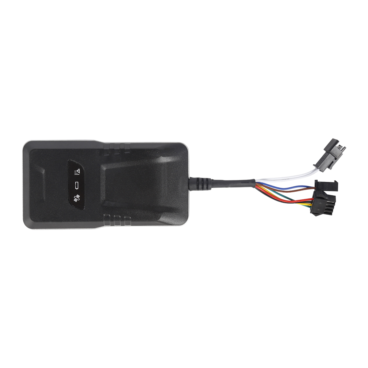
????The working mode of GPS positioning system is to use the basic triangulation positioning principle of satellite. The GPS receiver first finds the location of more than three satellites, and then calculates the distance between each satellite and the receiver to obtain the coordinates of the receiver in three-dimensional space. More than 20 satellites of the GPS system will transmit signals with L1 and L2 frequencies of 1575.42MHz and 1227.60MHz respectively. Generally, GPS receivers for civil use only need to receive L1, that is, 1575.42MHz frequency signals.
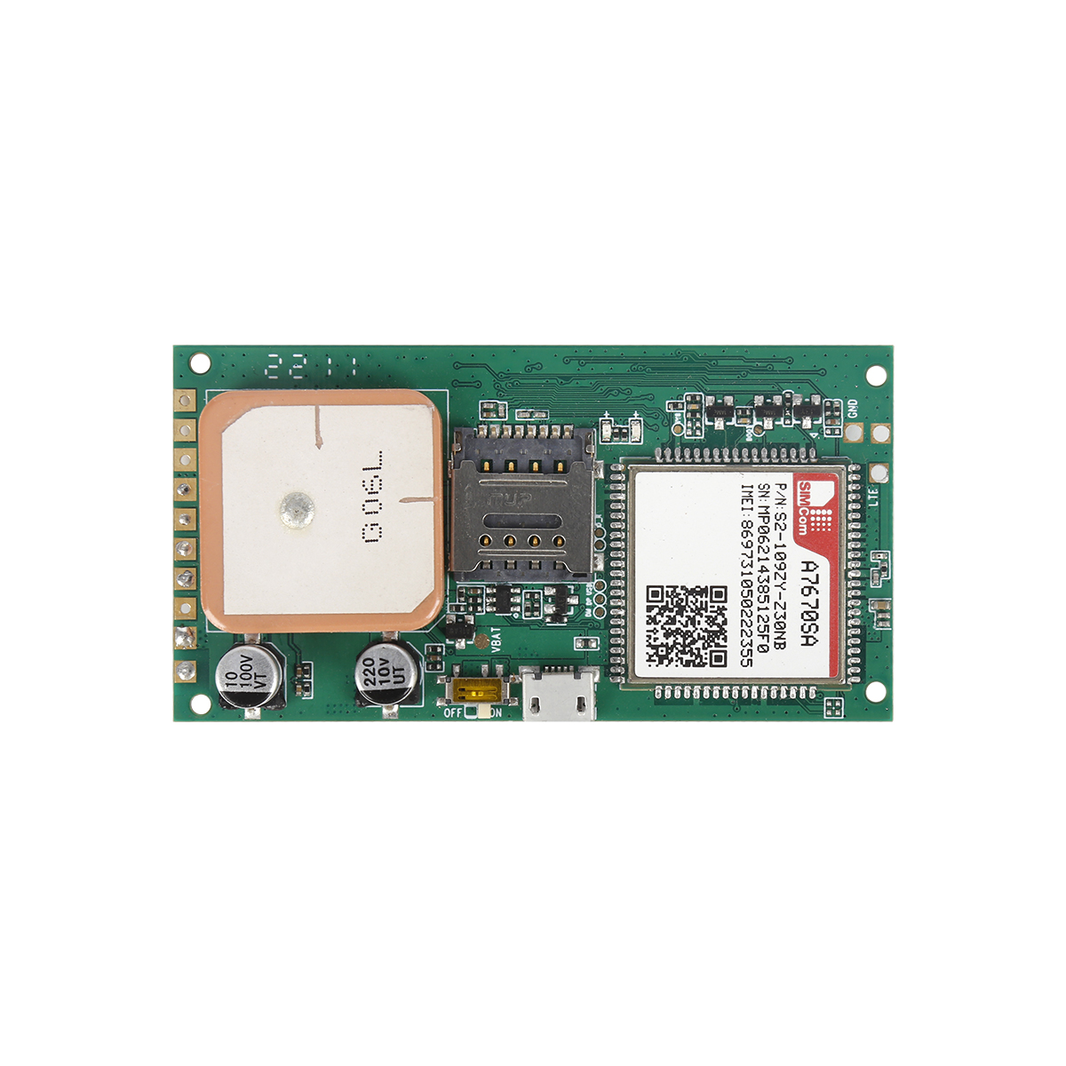
????The GPS device at the customer receiving end will receive the positioning signal from the navigation satellite, which is a one-way GPS signal receiver. First of all, the GPS antenna will first receive GPS satellite signals, and then convert high-frequency signals into medium and low-frequency digital signals through the RF RF front end and transmit them to the GPS baseband module. The core technology of baseband is the design of correlator. The correlator is mainly used to compare and find the correct satellite number, and then obtain the Almanac, BroADCast Ephemeris and other data of multiple satellites by comparison. The more channels of the correlator, the faster the satellite position can be found. At present, general GPS receivers provide at least 12 channel correlators, while higher order receivers have 16 or even 32 channel correlators.
????The control function of GPS receiver is realized by microprocessor or microcontroller. The processor can be an independent unit or integrated with baseband. At present, low-end GPS receiver products usually use ARM7 as the core; High end products are generally ARM9. In addition, such components will also have microprocessor support functions, such as UART and Real Time Clock (RTC).
????The broadcast ephemeris data will be output to the main processor in NMEA 0183 or RTCM format, and further integrated with the GIS map engine to display the location of the street; It can also send location information through the wireless communication interface, so that remote servers can further provide relevant location services. NMEA 0183 is a standard communication protocol commonly used by GPS. It uses simplified ASCII serial communication protocol to define the format of data transmission.
????The WAAS system in the United States or the EGNOS system in Europe adopt the auxiliary positioning mode of differential positioning (DGPS). When GPS adopts this mode, RTCM or NTRIP 1.0 protocol format should be output.
????In addition, since the original data formats provided by different receivers are usually different, a universal GPS data exchange format must be established to uniformly process the data collected by different receivers. At present, the format commonly used in the industry is RINEX.
Read recommendations:
gps vehicle tracker Manufacturing
How to solve the problem of inaccurate car GPS positioner?plug & play Obd gps tracker Production
Next article锛?Selection of GPS hardware architecture
Related Information
GPS Tracker maker
2023-04-11mini gps tracker company
2023-04-23fleet gps tracking maker
2023-04-234G GPS Tracker for vehicles Vendor
2023-04-23gps tracker device
2023-04-11gps tracker for trailer
2023-03-16pet gps tracker cat distributors
2023-03-16gps vehicle tracker Vendor
2023-04-23Gps speed limiter Production
2023-04-23Hidden GPS Trackers supplier
2023-04-23G200NY -Cow/Camel GPS Tracker
2022-06-21GF20-Mini Magnet GPS Tracker
2022-06-21YG119- Hunting Dog GPS tracker
2023-10-07personal gps tracker Production
2022-09-06G03
2022-06-21Customer Visiting
2020-09-30locator gps car tracker
2022-08-09Introduction to GPS Prospects
2022-09-23How to install and place the GPS tracker with more accurate positioning and stronger signal
2022-07-14Can the GPS positioning system help the breeding industry save costs?
2023-02-22What are the commonly used car GPS positioner?
2023-02-25GPS components
2022-11-19China Beidou Navigation System?
2022-11-17Application of RTK in Engineering Surveying.real-time gps tracking maker
2023-07-03GPS Antenna Channel
2022-08-19Why does China Beidou dare to compete with the first tier GPS team?
2022-11-17Car positioning tracker.mileage tracking webfleet solutions
2023-02-24Cold start, warm start and hot start of gps
2022-12-05GPS system GPS BLOKC III prototype starts testing
2023-02-03How to implement the GPS monitoring system function?
2023-02-11alger.qin@6gpstracker.com
 Phone: +8619874120903
 Tel: +86 755 2370 2092
 Skype: castel.alger
 Whatapp: +8619874120903
 Add: Fl 18, ZhilianJia Bldg, LongGang, Shenzhen
ABOUT

SUPPORT
NEWS
CONTACT US
 Language


 EN
EN