


 Home > NEWS > Other information > truck tracking webfleet solutions
source:truck tracking webfleet solutions release time:2022-12-14 Hits: Popular:realtime gps tracker online
????
????1. All attributes of navigation related elements:
????1) The attributes of each element are complete, as shown below:
????road:
????Road name, road function, road material, road number, lane, road width, grade, road attribute and other comprehensive attributes.
????Road facilities and traffic regulation information:
????, speed limit, deceleration, speed measurement, height limit, weight limit, prohibition, priority and other very comprehensive information.
????2) Navigation specific properties.
????Strict road grade network plays a great role in navigation, including the correctness and rationality of planning.
????2. The relationship is complex.
????1) The relationship between roads and points of interest;
????For example, the point is on the left or right of the road.
????The exit between a building and the building is dependent on the road.
????2) The relationship between roads and intersections;
????Complex intersection and simple intersection.
????Each road section in a complex intersection has a combination relationship.
????3) There is a certain relationship between the intersection type of the road direction board and the road.
????FAQ: What is the navigation data format?
????Answer: There are three levels: parent database format, exchange format and storage format. The format is very important for the realization of navigation function.
????Parent database format: It is a format for direct editing and storage of navigation data. It is mainly convenient for editing and saving, such as TAB format.
????Exchange format: It is a format that can be converted to various application navigation data. Generally, it is an open format to facilitate conversion applications. (e.g. GDF format)
????Storage format: originally refers to the format of data stored in the computer, but in navigation, the storage format generally refers to the navigation application format. (e.g. KIWI format)
????FAQ: What is a map and what is a national basic topographic map?
????Answer: The traditional concept map is a map that selectively shrinks the natural and social phenomena on the surface of the earth on the plane drawing with the prescribed schema symbols and colors according to certain mathematical rules. Such as ordinary maps, thematic maps, various scale topographic maps, image maps, three-dimensional maps, etc. Modern maps have emerged with new varieties such as micro maps, digital maps, electronic maps and holographic photos.
????The national basic topographic map is the national basic scale topographic map, referred to as the national basic map. It is a topographic map that is mapped or compiled according to the unified surveying specification, schema and scale series issued by the state. It is the basic map for national economic construction, national defense construction and military operations, and also the basis for preparing other maps. The scale series of topographic maps in various countries are different. China stipulates that seven kinds of topographic maps with scales of 1:10000, 1:25000, 1:50000, 1:100000, 1:200000 (now 1:250000), 1:500000, and 1:1000000 are national basic scale topographic maps. Its measurement accuracy and mapping quantity and quality is one of the important indicators to measure the development level of surveying and mapping science and technology in a country.
Read recommendations:
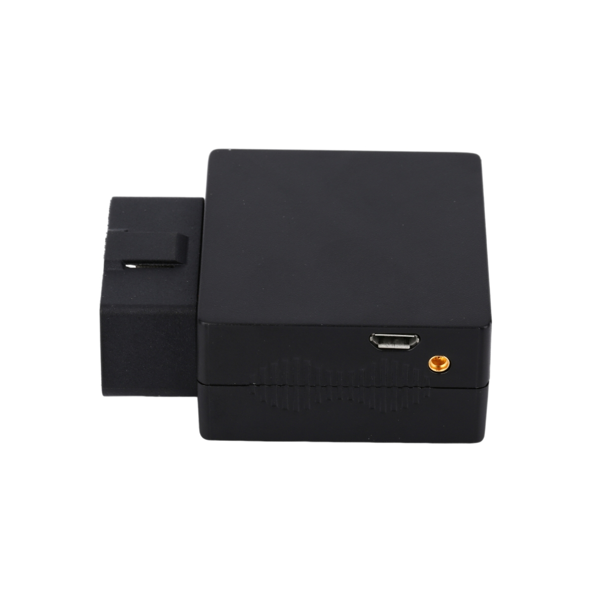
G183 serials -JOBD GPS Tracker
Next article锛?Basic knowledge of GPS equipment installation
Related Information
gps vehicle tracker Manufacturing
2023-04-11gps vehicle tracker wholesaler
2023-04-11Fleet management expert
2023-03-16OBD GPS Tracker
2023-04-11pet gps tracker cat price
2023-03-164G GPS Tracker for vehicles maker
2023-04-23Pet GPS Tracker
2023-04-11Dog gps tracker custom
2023-04-23GPS Tracker wholesale
2023-04-11Car gps tracking Production
2023-04-23TK08AL- RFID Car GPS Tracker
2023-10-07G03
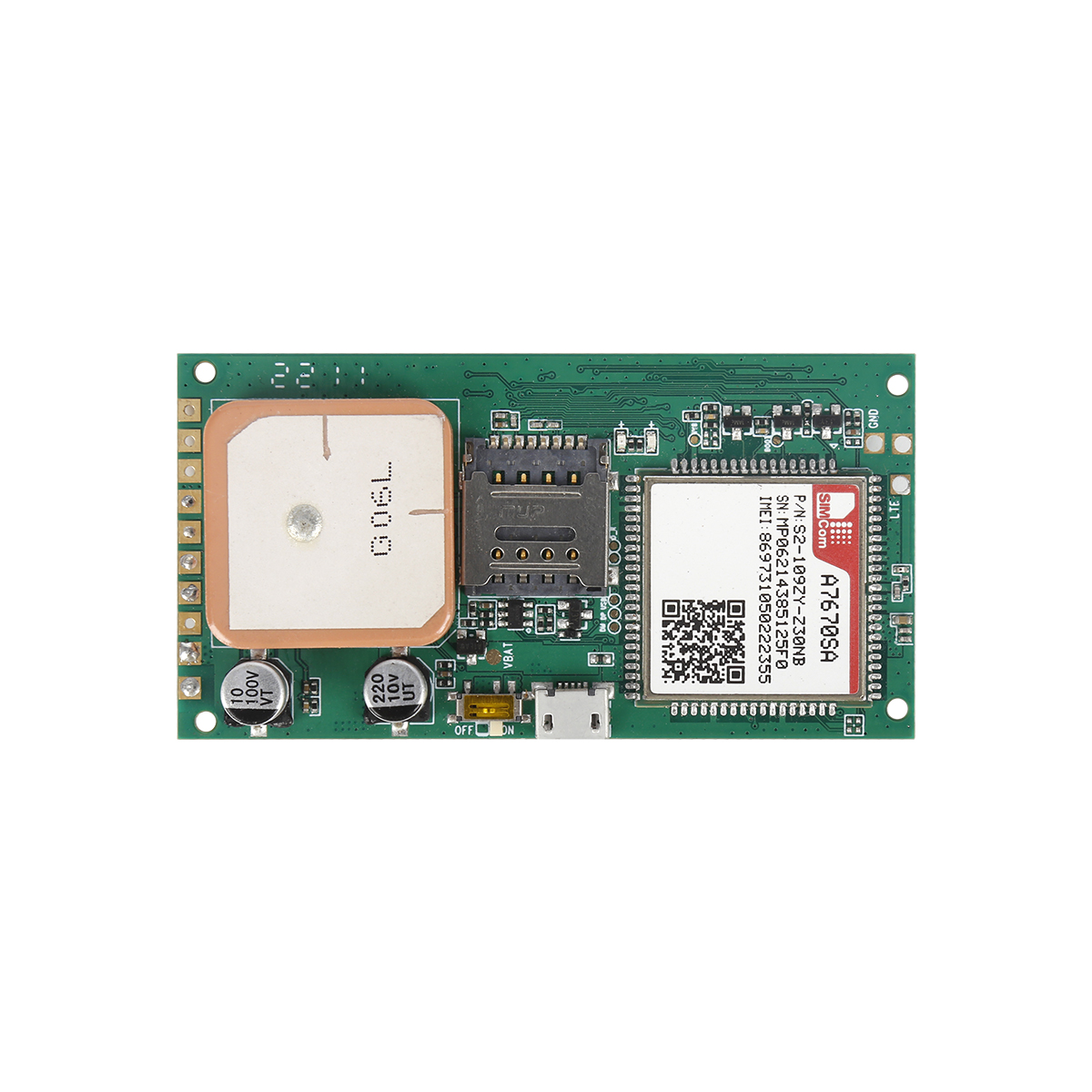
2022-06-21G06L
2022-06-21G02M Pet Tracker
2022-06-19TK100 (GT06) Vehicle Tracker
2022-06-20GPS, crawling in chaos
2022-12-20What should be considered in addition to the positioning and navigation performance when choosing GP
2022-10-28GPS tracker, what do you want to use?
2022-09-17GPS positioning principle
2022-10-14Composition of GPS PXI acquisition equipment system
2022-11-11Two frequencies can eliminate ionizing layer errors.Portable car gps systems Manufacturing
2023-03-11How to realize the function of GPS monitoring system?
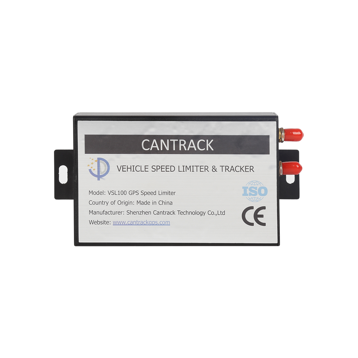
2022-12-12Gps speed limiter.Why do operating vehicles need to install a Beidou satellite positioning and drivi
2023-10-26What are the fixed installation locations for GPS locators.gps tracker for trailer maker
2023-06-20GPS positioning tracker function
2022-12-15The editor tells everyone where car GPS is usually installed.obd-II port gps tracker sales
2023-06-16The relationship between GPS and Beidou navigation?Asset tracking wholesaler
2023-02-18Does the GPS positioner consume a lot of power?gps tracker no monthly fee wholesaler
2023-04-07LBS(Galileo) positioning
2022-10-25Where is the car GPS positioner?
2023-02-22alger.qin@6gpstracker.com
 Phone: +8619874120903
 Tel: +86 755 2370 2092
 Skype: castel.alger
 Whatapp: +8619874120903
 Add: Fl 18, ZhilianJia Bldg, LongGang, Shenzhen
ABOUT

SUPPORT
NEWS
CONTACT US
 Language


 EN
EN